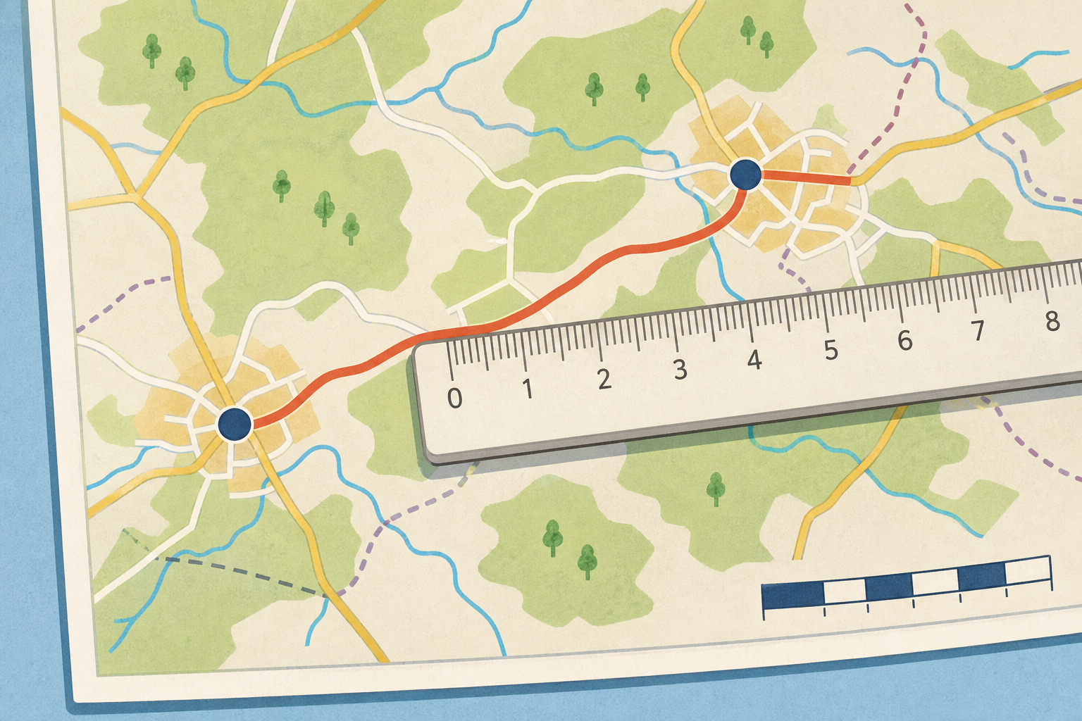
Here is a map of part of Ireland. Down in the corner it says the scale: 1 cm = 2 km.
Two towns on the map sit 3 cm apart on the paper. How far apart are they really, out on the ground?
Take three hands-up answers, not open call-outs. Do not confirm the answer yet — the whole lesson pivots on the idea that the paper distance is not the real distance.
Listen for anyone who says '3 km': that is the paper-equals-real slip this lesson exists to fix. Hold it and say we'll check that together.
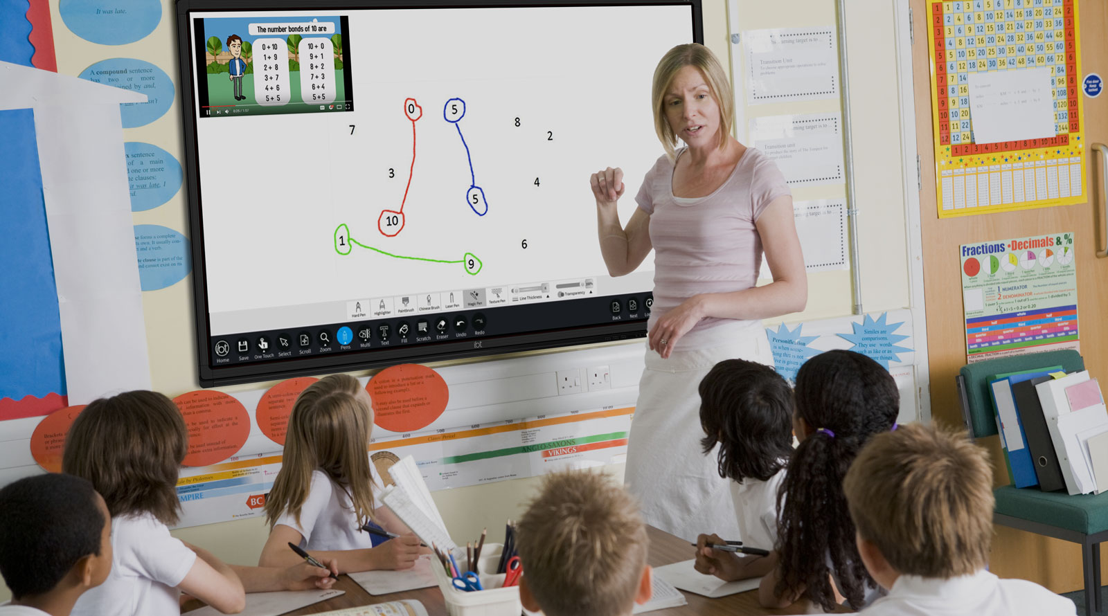
Watch how each measured centimetre turns into a real distance. Read the scale first every time, and be ready to say the rule you spot.
These are four worked examples on the board. Work each one live — don't read them out as a script.
Revoice the rule a pupil offers: measure the centimetres, then multiply by what one centimetre is worth; to go backwards, divide the real distance by what one centimetre is worth.
Take your printed scale map and a ruler. The scale is 1 cm = 2 km.
Measure each one to the nearest half-centimetre, then multiply by 2 to find the real distance in kilometres.
We measure and convert three routes together. First the straight road. Then the river crossing. Then the coast path.
Pupils measure at their desks with their own rulers — circulate and catch alignment slips on the spot. The class reads aloud and you reconcile any disagreement as you circulate.
Watch for pupils lining the ruler up from the 1 cm mark instead of 0 — that adds two phantom kilometres. Watch for anyone who measures 4.5 cm but converts only the whole 4 cm. Revoice: the half-centimetre is worth 1 km on this map, so it counts too.
Reconcile the three real answers on the board as you go: the straight road reads 3.0 cm → 6 km, the river crossing 4.5 cm → 9 km, the coast path 6.5 cm → 13 km.
In your maths copy, write the scale at the top: 1 cm = 2 km.
Then, for each map distance you measured, write the map distance in centimetres, the multiplication you did, and the real-world distance in kilometres, one under the other:
Walk the room glancing that the scale is written at the top and that each line shows the multiplication, not just the answer — this is whole-class copybook practice, not marking.
Using your printed map (scale 1 cm = 2 km), work through these, getting harder as we go:
The last one works backwards, just like the fourth board earlier: we divide instead of multiply.
Using the printed map with scale 1 cm = 2 km, find the real distance for each measured route, then work backwards to find a map length from a real distance.
Ways to start:
Stretch:
This is the practice round — pupils take turns reading each measurement aloud, the class confirms the multiplication, and everyone checks before moving on. Keep the board work brisk rather than over-explaining.
The final problem reverses the rule, exactly like the last Watch and Notice board (real km ÷ scale = map cm). Watch for pupils who try to multiply again — ask them: if 1 cm is worth 2 km, how many centimetres is 15 km worth? Answer: 15 ÷ 2 = 7.5 cm.
You're previewing this lesson. Get full access to this lesson and hundreds more — each one ready to teach, with interactive activities, printable resources and pupil progress tracking built in.